
Directions:
According to this page’s first citation, ” from LA, travel north on the Ventura Freeway (101) towards Ventura. Travel about an hour, north towards Santa Barbara. Exit onto Highway 150 (towards Lake Casitas) and park immediately after leaving Route 101. The fossils are found along the freeway offramp and up the hill above.”
Geology of the Area:
Rincon Point is a famous surfing spot on the border of Santa Barbara and Ventura County. The fossils of Rincon Point are found off a freeway cut that exposes 16 different layers of Santa Barbara Formation strata. Santa Barbara County was underwater for most of Earth’s history, but slowly rose to the surface during the Cenozoic Era, especially as a result of the Miocene dated tectonic movements that created the San Andreas Fault.
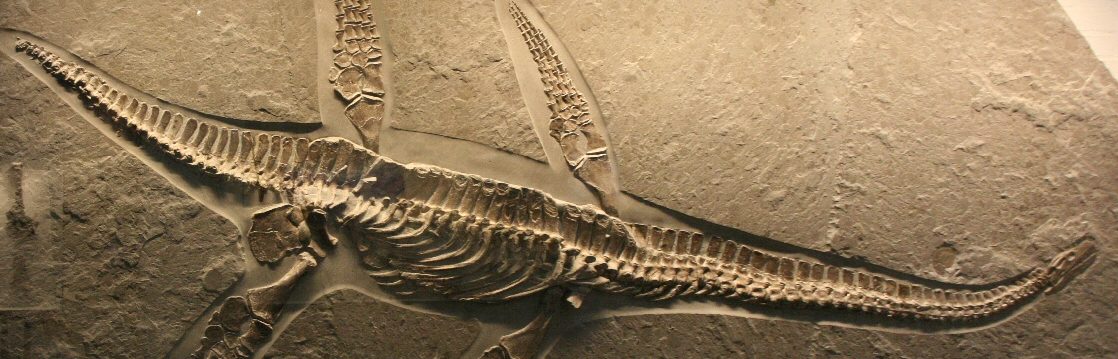
Fossils:
Pliocene-Pleistocene dated fossils are abundant in the sediments off the freeway. The fossils are marine fauna including invertebrates such as bryozoa, mollusks, gastropods, and Pecten.
Other Fossil Sites Nearby:
Coal Point: link
Ojai Trails: link
Sespe Wilderness: link
Surfer’s Knoll: link
Works Cited:
Gary Kindel, “Fossil Collecting Sites in North America,” (Digital Rockhound’s Companion Site 2009) http://www.digitalrockhound.blogspot.com
“US and Canadian Fossil Sites — Data for California” http://donaldkenney.x10.mx/STATES/CA.HTM
“Offshore Geology of Santa Barbara County” (County of Santa Barbara Planning and Development ) http://www.sbcountyplanning.org

5 thoughts on “Guide to Finding Fossils at Rincon Point”